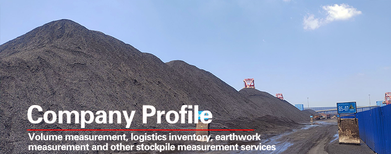
Beijing Sanwei Maipu Navigation Surveying and Mapping Technology Co., Ltd. was established in 2007 with a registered capital of 16 million yuan. It designs and implements hundreds of coal pan material projects for large power plants, steel mills, coking enterprises, and other domestic and foreign enterprises.
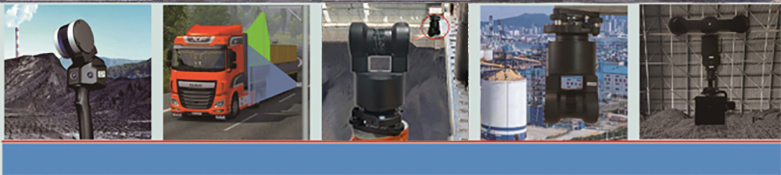
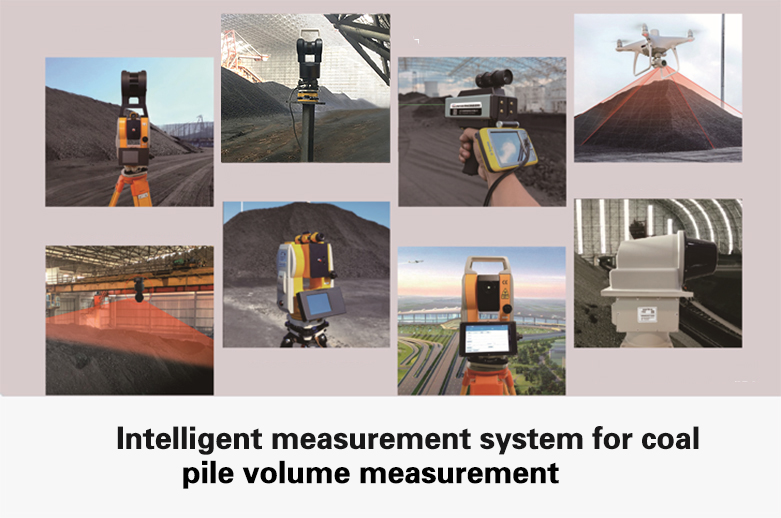
The company has been committed to independent research and development and production for a long time. Our self-developed products include long-distance 3D laser scanners, explosion-proof 3D laser scanners, shed track car material handling systems, unmanned aerial vehicle aerial measurement systems, portable scanning material handling instruments, backpack handheld 3D laser material handling instruments, silo material level monitoring systems, underground cavity volume scanning systems, tunnel 3D scanning systems, and airport clearance measurement instruments, 12 kilometer prism free rangefinder, height difference measuring instrument, digital night vision reconnaissance instrument, miniature handheld total station, high-precision servo controlled angle measuring gimbal in the industrial field, research and development of customized three-dimensional coordinate measuring instruments for industrial, mining, and surveying industries. We are a hardware manufacturer dedicated to the field of three-dimensional scanning and material pile volume measurement for a long time. The company utilizes its own high-precision laser scanning coal pan and unmanned coal pan to undertake various coal, ore, sand and gravel, grain storage, sawdust, and chemical raw material pile measurement coal pan projects for users from all over the world!
The company undertakes scientific research cooperation projects in the fields of 3D laser stack volume scanning systems, industrial vision and laser positioning systems, precise attitude and direction measurement systems, long-distance distance measurement sensors, dynamic video tracking and positioning systems, and unmanned aerial vehicle application projects, serving industrial enterprises.
The company has a wide range of applications in the field of 3D scanning of material piles in power plants, coal mines, steel mills, grain enterprises, and ports. It has established good cooperative relationships with major groups such as Huadian, Guodian, Huaneng, Datang, China Resources, and China Power Investment in various regions, and has established a good reputation!
|